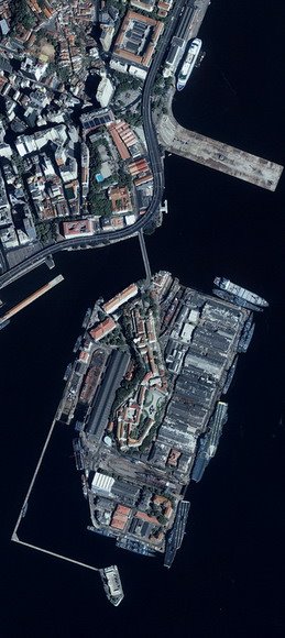
With our satellite imagery from the IKONOS and other satellites, Satellite Imaging Corp. provides the following services for multiple industries, including oil and gas, agriculture and land management, environmental analysis, and motion pictures:
- We obtain and provide aerial and satellite images along with professional advice to help you in finding the best solution for your project.
- We process imagery, including orthorectification, culture extraction, Digital Terrain Models, and raster-to-vector translation.
- We incorporate third-party service data for Geographic Information System (GIS) projects.
- We consult on band combinations most appropriate for remote sensing applications, including environmental impact studies (EIS), regional environmental monitoring, and change detection to bring out the geographical and manmade features that are pertinent to your project.
