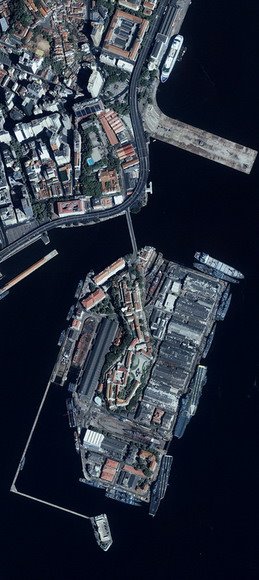
The IKONOS Satellite sensor can be programmed to acquire Stereo IKONOS Satellite Image data for the production of Digital Surface Models (DSM's) or Digital Elevation Models (DEM's) with postings of ≤5m. From the Stereo pair the near Nadir scene will be utilized to produce <1m>
- Transmission lines
- Pipelines
- Roads
- Railroads
- Construction Projects
- 3D Flythrough Movies
- etc.
In addition the Geospatial data sets are used to support ongoing operations for Mining, Oil and Gas Exploration and many other applications.
